By: Andy Nadler, Product Manager – Weather
Farmers Edge has been preaching the message of field-centric data for a long time. We believe that information collected from the actual field produces the most accurate results – period. Whether it’s historical weather conditions, soil sampling, nitrogen recommendations or growth stage predictions, better and more site-specific information will produce more field-specific results.
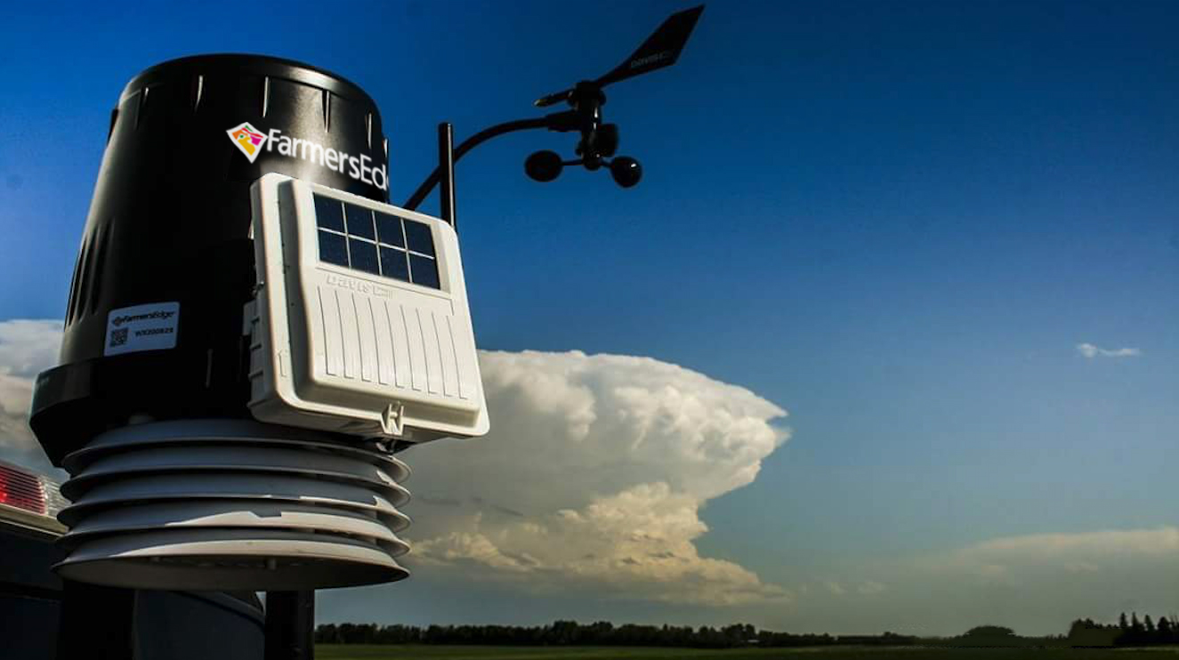
Take our on-farm weather stations for example. Given that weather is the most variable, yet important factor when it comes to crop production, guessing temperature, rainfall, humidity, wind, and other parameters is not an option. For this reason, we install and maintain weather stations near all Farmers Edge grower fields. This means that every field is close to where on-the-ground data is being collected.
Contrast this to conventional practices that use weather information from public sources – mainly weather stations located near larger cities or at airports. Weather within the vast areas between those stations gets estimated using various techniques, some more sophisticated than others. Unfortunately, without on-the-ground monitoring, it is difficult to determine how close these estimates are to what actually occurred.
Take the example below. This is a FarmCommand – Weather Manager* screenshot that shows current air temperatures at three weather stations in northwest Missouri. The northernmost station is near the airport; the middle station is 3.5 km (2.2 miles) from the airport; the southernmost station is 6.7 km (4.2 miles) from the airport.
Notice the differences in temperatures. From the airport weather station to the middle station, there is a difference of 1.4°C. From north to south, there is a difference of 2.5°C. To a developing crop, that’s a big deal! Over the course of a growing season, such temperature differences will have a major effect on the crop’s development rate. If one were to assume that the weather conditions at the airport can adequately represent the surrounding region, they would be mistaken.
Growing degree days (GDD) are often used to calculate the growth and development of a crop. A cooler day will accumulate few or no GDD while a warm day will accumulate more GDD. Given that crops respond to heat, GDD can be correlated to crop development. Therefore, the accumulation of GDD since planting can be used to predict crop staging.
Consider the prediction of a certain growth stage based on GDD. The chart below shows the differences in prediction for flowering (anthesis) and for maturity in wheat, based on the actual temperature compared to a regional temperature (1.5°C bias). In this example, temperature from the actual weather station shows flowering to occur on June 22. Regional temperature values predict a four-day discrepancy (June 18). Likewise, the discrepancy in predicted dates of maturity increases to six days (August 1 vs. July 26). If one were to plan scouting, crop protection or harvest timing based on regional values, they would be several days off. When it comes to predicting crop stages, an error of four to six days is not acceptable. Clearly, the choice of weather sources – field-centric versus regional – will influence the accuracy of prediction.
So why does Farmers Edge have such a large network of weather stations? Better data means more informed decisions which means better results!

