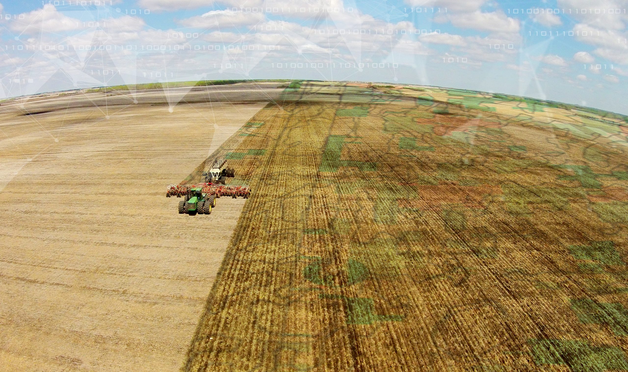
The term Big Data is frequently tossed around in many industries, including agriculture, and may be poorly understood. To the average person, it simply refers to the large data sets that reveal patterns and trends that can guide better decision-making.
But for Farmers Edge, Big Data means collecting and analyzing the Right Data to support decision making and optimize profits on the farm.
Farmers Edge leads the way to the Right Data with their Precision Solutions™ platform. It is the only product that integrates hardware, agronomy, software and support into one comprehensive turn-key package. Included is FarmCommand™, a cloud-based farm management platform; CanPlug, the Farmers Edge device that plugs into any piece of equipment – no matter the color – to collect and track field and equipment data; on-farm weather stations for Field Centric Weather monitoring; and high-resolution, high-frequency satellite imagery. Most importantly, Farmers Edge keeps all of their customer’s data private and provides extensive boots-on-the ground technical and agronomical support.
Here are three ways Farmers Edge can help you put the power of Big Data to use in making more productive – and profitable – farming decisions this year.
1. Field Centric Weather™
Farmers Edge offers Field Centric Weather data, focusing on weather in your fields rather than the closest public weather station. Jamie Denbow, Farmers Edge product manager describes Field Centric Weather as a “integral component of making informed farm management decisions.” He suggests that there is nearly a 48% reduction in accuracy of weather stations when you are 20 km (12.5 miles) away, and states that “Farmers Edge installs custom weather stations for every 2,500 acres for more accurate data that is transferred wirelessly to cloud storage.” Within FarmCommand, growers can access 48-hour hourly forecasts and ten days of daily forecasts, as well as historical weather data to support decisions surrounding their field operations.
Trevor Sherman, a Farmers Edge grower used Field Centric Weather to help him decide when to reseed a crop during a frosty spring. He recalled “the closest weather station at 25 miles away did not have as cool of nights as in my field, so I examined field centric overnight lows and decided to reseed all 1800 acres sooner.” To help assess the value of his decision to reseed, Sherman left check strips in the field and used a Crop Health Map, along with many other tools included in FarmCommand, to monitor his check strips vs other areas. With this data, Trevor was able to give the Crop Insurance Inspector proof as to why there was such damage in his fields vs fields in other areas. He proudly stated “I knew I made the right decision to reseed when I harvested over 50 bushels an acre.” Upon comparing his check strips with the rest of his field, Sherman verified that his yield would have been less than 40 bushels an acre – a significant difference in profits.
Farmers Edge has the largest network of weather stations in Canada with over 1,000 weather stations currently on customer’s farms and fields. There are hundreds more going in this year, not just in Canada, but across five countries.
2. Precision Health Maps
You can’t walk every acre, every day, looking for problems. A Farmers Edge Precision Health Map utilizes in-season aerial field imaging to be there for you and spot health problems before yield is impacted. You can easily see the problem in FarmCommand and use GPS to get to the exact location in the field.
It also provides strategies for long-term crop health. “This might pay off quickly after a heavy rain on a field,” says Jamie Denbow, another Farmers Edge product manager. “If the crop is suffering from nitrogen loss, you can spot it and consider practices such as top-dressing to protect yield potential.”
The Precision Health Map shown here clearly identifies problem areas in an All Canadian Grain Inc. field. By examining the map, the grower was able to make the decision to apply nitrogen to areas of the field in attempt to prevent further damage. In this specific instance, the grower was only able to save parts of the crop, however, it reinforced the importance of using Precision Health Maps early, as a part of the crop scouting process. Had the grower made use of the map earlier, he may have been able to save about 8 acres of his operation from damage.
3. As Applied Maps & Prescription Maps
As Applied Maps focus on fertilizing and seeding rates, off target areas and application overlap areas. With this data, literally every part of every farm becomes a scientific research trial because you know exactly what was applied. “It’s one of the most critical data points,” says Denbow.
“It’s not enough to know what you intended to apply,” he says. “There are often issues such as plugging, equipment malfunction, or operator error that means what actually is applied differs from what was intended. We gather As Applied Maps from our customers and produce an overlap map. In this case (see map), it is 4.4% overlap, which is a low overlap.”
The second map shows an overlap at almost 25%, a significant impact in terms of input costs. “The benefits of knowing this are big,” says Denbow, “whether it’s evaluating the ROI of sectional control, or working to improve operator path planning.”
Another type of map to manage application is a Prescription Map. It is an automated way of getting your equipment to do what you want without having to remember or physically switch the application. Farmers Edge walks you through the simple process of loading these maps into the rate controller technology. This ensures that the desired amount of product gets delivered to the desired location within the field automatically, to optimize results.
A good example is variable plant population: higher in more fertile areas of the field, and lower in less productive areas. Farmers Edge helps discover where those areas are, then builds the Prescription Map and loads it into your rate controller. The machine does the rest.
Denbow says the Farmers Edge comprehensive approach is to equip you with all the tools required to capture Field Centric data: weather, in-season imagery, equipment performance, yield performance, and ultimately profitability by specific areas of your farm. And it does this with an extensive “boots on the ground” support team to provide the service you need, when you need it.
“By capturing all information from your farm with one technology partner, and presenting the full farm data in one integrated interface like our FarmCommand, it makes measuring results and modifying future behaviors very easy,” he says. “In fact, Farmers Edge has the easiest way to accomplish this in the industry.”

